Your Guide to A Sustainable Shared Water Future In New Mexico

Main Stream New Mexico connects water data, stories, and solutions to plan, conserve, and thrive together.
Main Stream is a campaign of the New Mexico Interstate Stream Commission Water Planning Program. It is a resource for revitalized regional water planning under New Mexico’s Water Security Planning Act of 2023.
New Mexico’s Regional Water Planning Mapping Tool
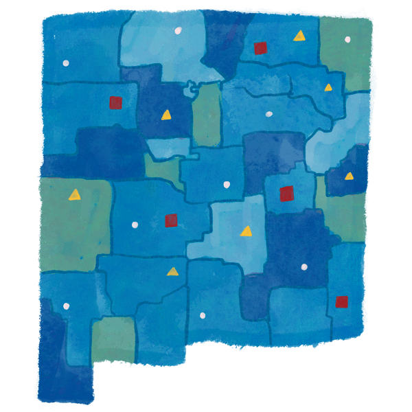
This tool provides an introduction to water data which incorporates various tried-and-true data sets. It pairs population data from the Census with water data from the New Mexico Water Data Act, and overlays those with Water Use by Categories reports from both 2015 and 2020 (among other data sets).
Explore Maps & Stories
View Data & Reports
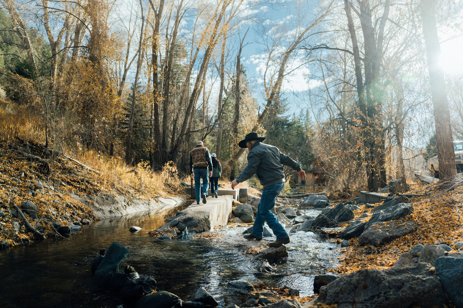
Water Facts for New Mexicans
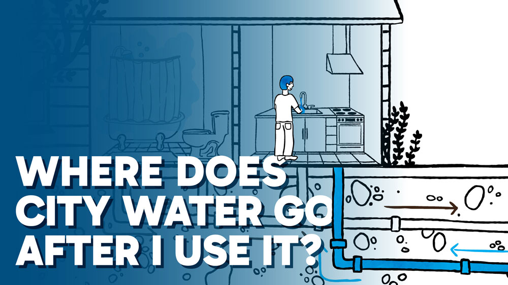
Where does city water go after I use it?
After use, water travels to treatment plants, and in some communities, gets recycled for parks, industry, or groundwater recharge. Reusing water means we get more from every drop.
View All Water Stories
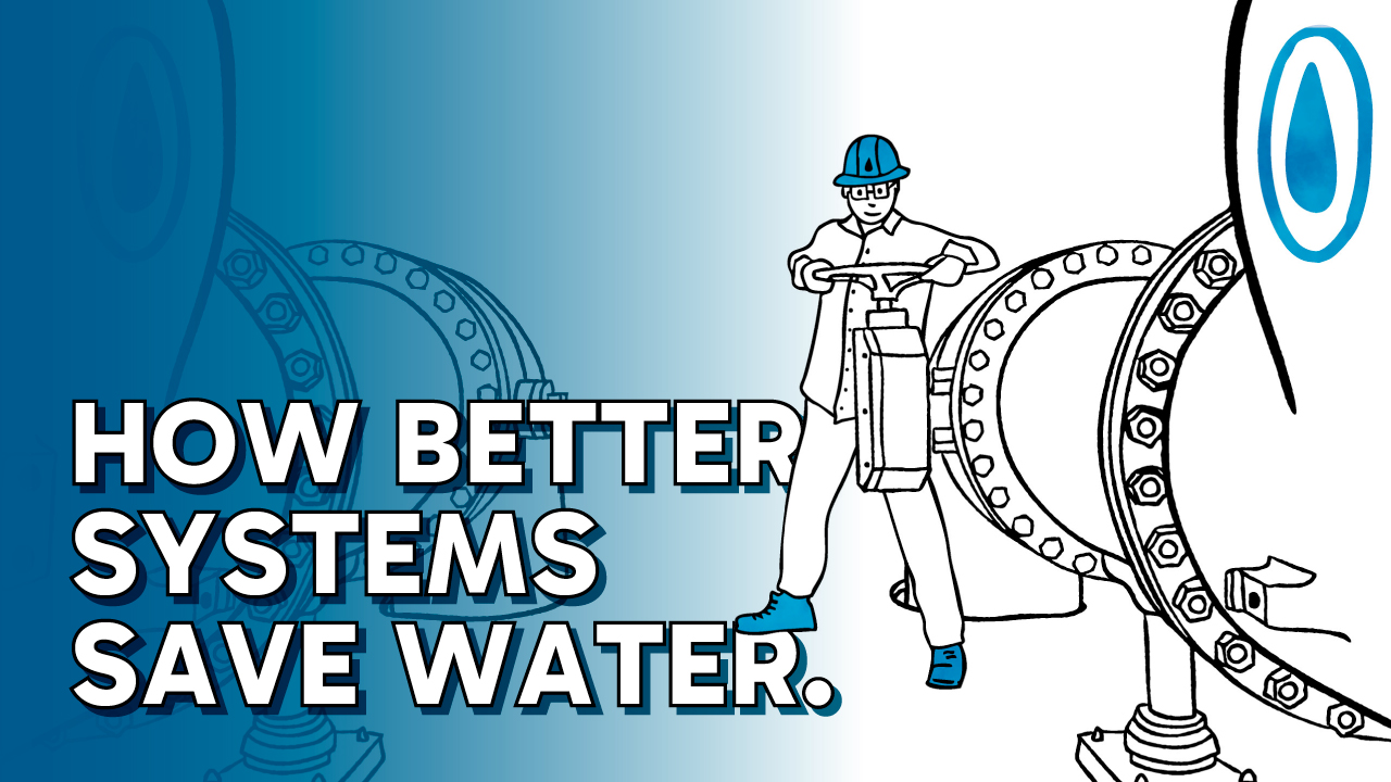
How can water systems save water?
If communities across New Mexico prioritized improving infrastructure for stormwater catchment, irrigation channels, and pipes — our state could save thousands of acre feet.
View All Water Stories
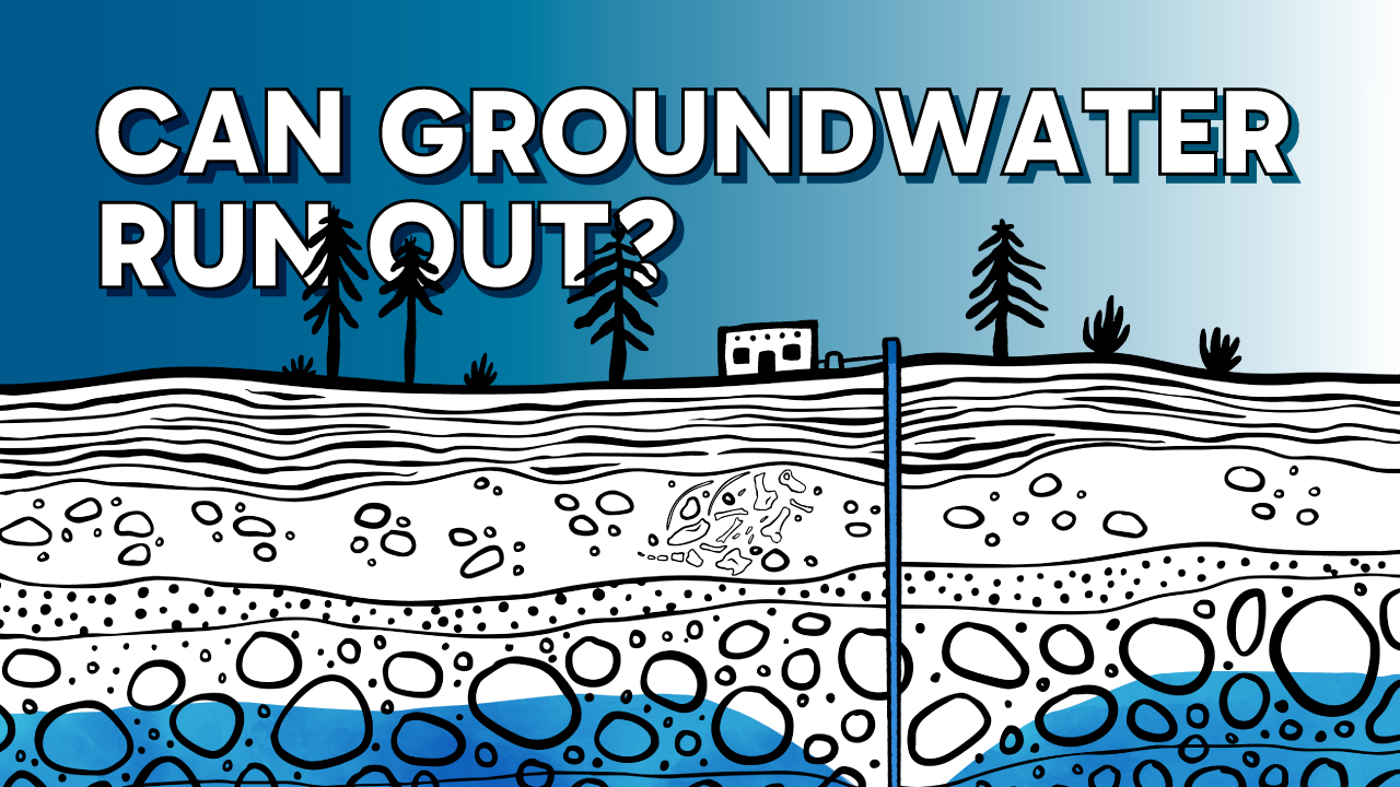
Can We Run Out of Groundwater?
Groundwater is built over thousands of years. When we pump more than is recharged from the surface, we risk running out. The future of our aquifers depends on one simple choice: How much water will we save today? So do your part. Only take what you need.
View All Water Stories
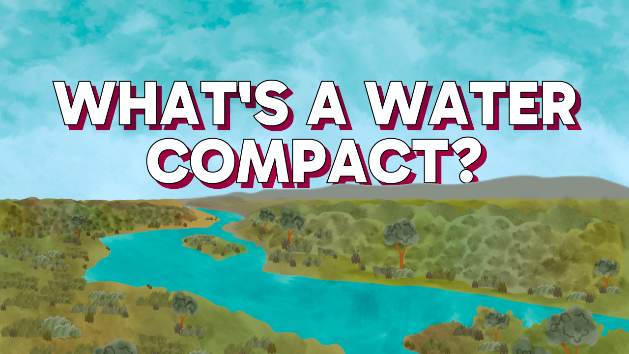
What’s a Water Compact — And Why Do States Fight Over It?
Rivers don’t stop at state lines, so how do neighboring states share water? They use water compacts, sharing agreements that benefit and bind us.
View All Water Stories
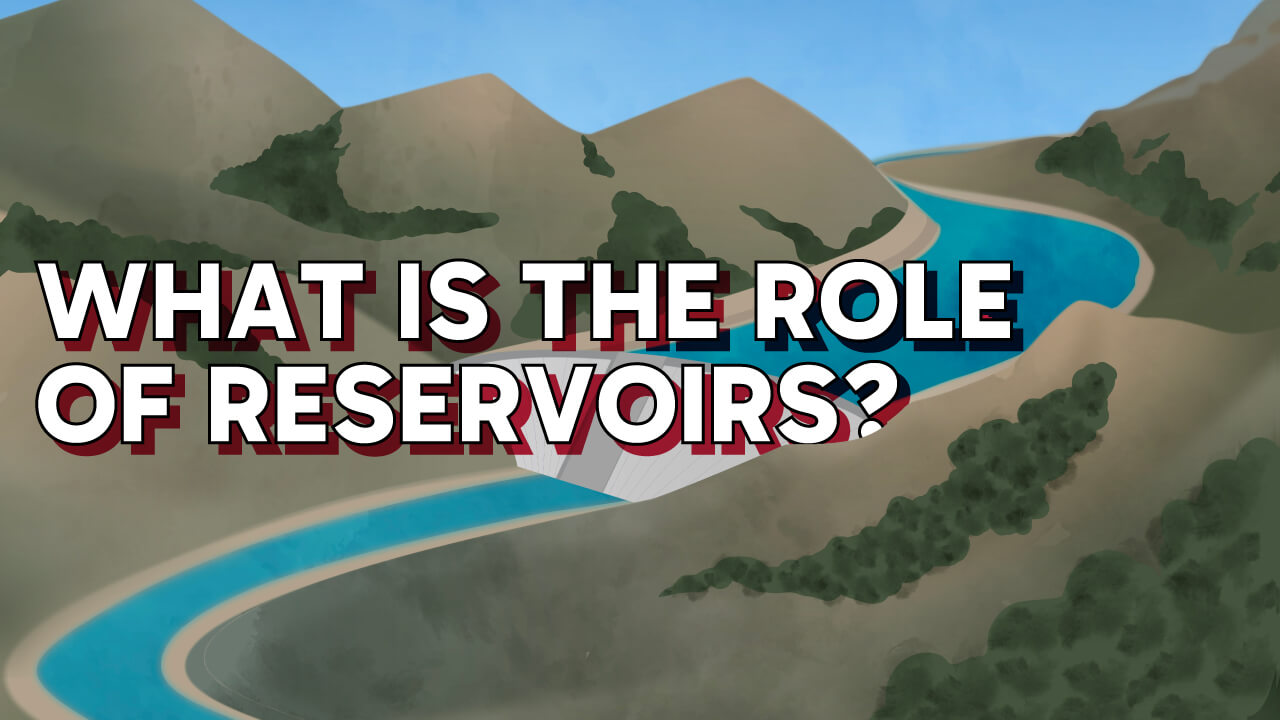
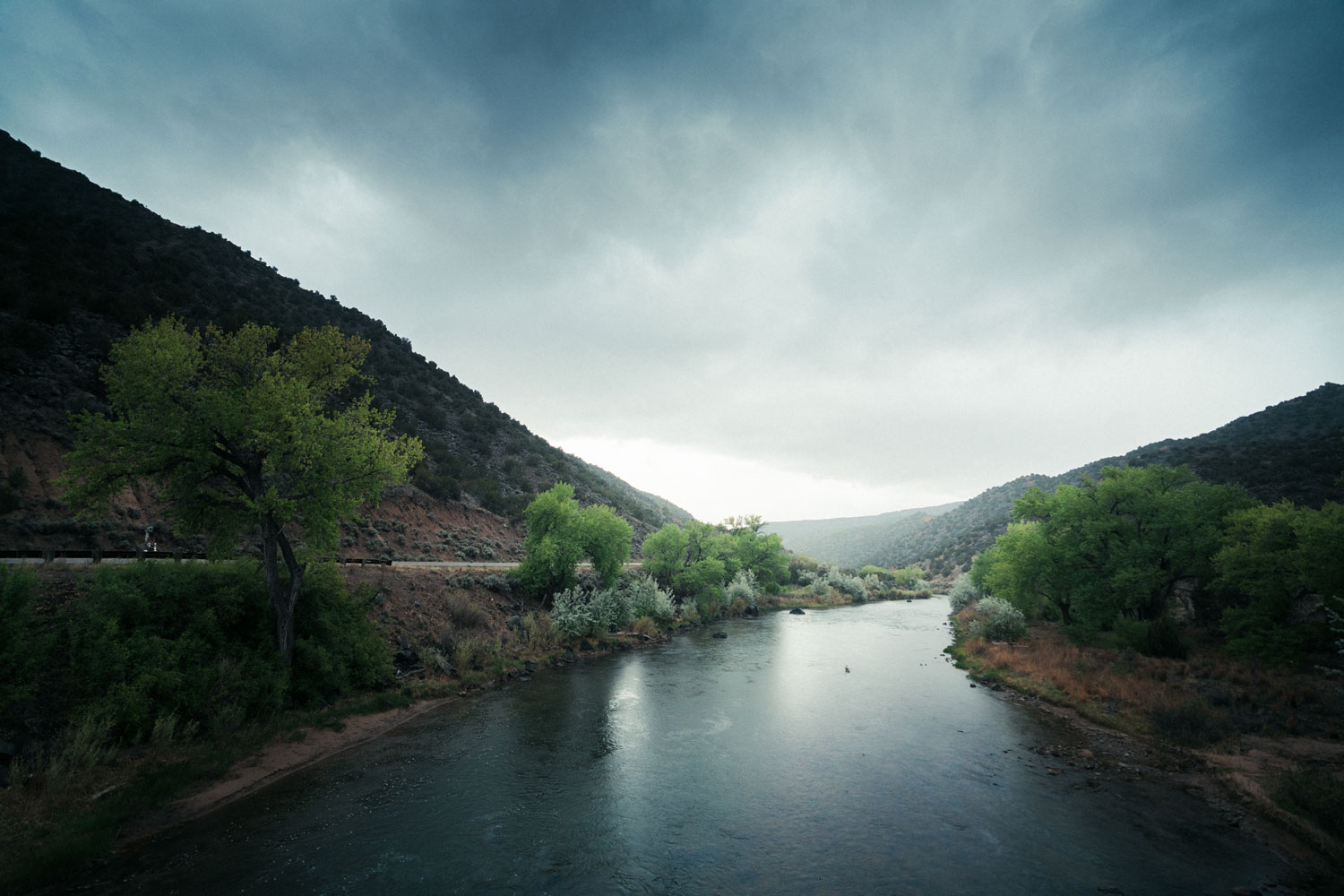
What is the Role of Reservoirs in the Desert?
Reservoirs have shaped life in New Mexico more than you might think. But drought, low snowpack, and a warming climate have dropped many reservoirs to historic lows, making conservation and collaboration more important than ever. So do your part, only take what you need.
View All Water Stories
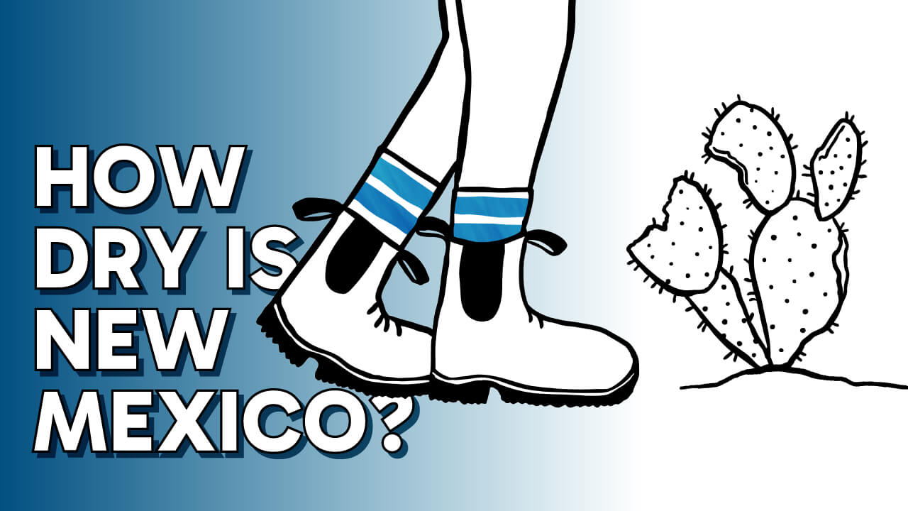
How dry is New Mexico, really?
New Mexico is in its driest period in 1,000 years. Tree rings show natural records of rain and snow stretching back centuries. Those rings reveal long stretches of “normal dry”... and the extreme dry we’re living through right now. Our ecosystems are parched, and our water supplies are at risk. So do your part. Only take what you need.
View All Water Stories
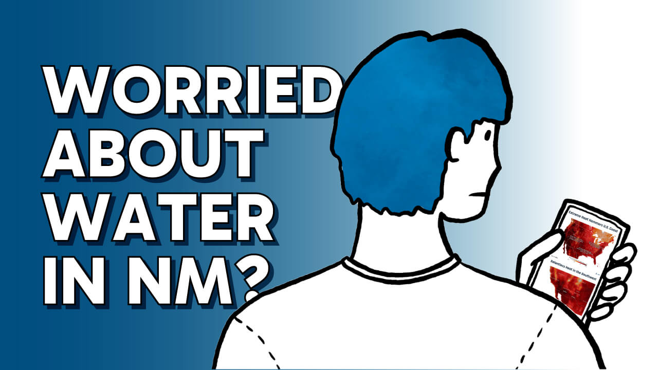
Worried About Water in New Mexico?
Through floods and droughts, New Mexicans have always adapted. Now, as climate change reshapes our water future, it's time to act together. We are all connected by water, and small changes can secure our water future. So do your part. Only take what you need.
View All Water Stories
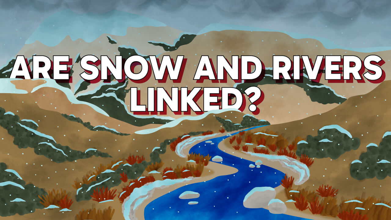
What's The Link Between Snow and Our Rivers?
New Mexico rivers change a lot from season to season. Ever wonder why? Snowfall plays a big role. Each winter, snow creates frozen stores of water in the high mountains. This melts in the spring, feeding rivers and streams. But New Mexico winters are becoming dryer, warmer, and shorter, reducing the flow. So do your part. Only take what you need.
View All Water Stories
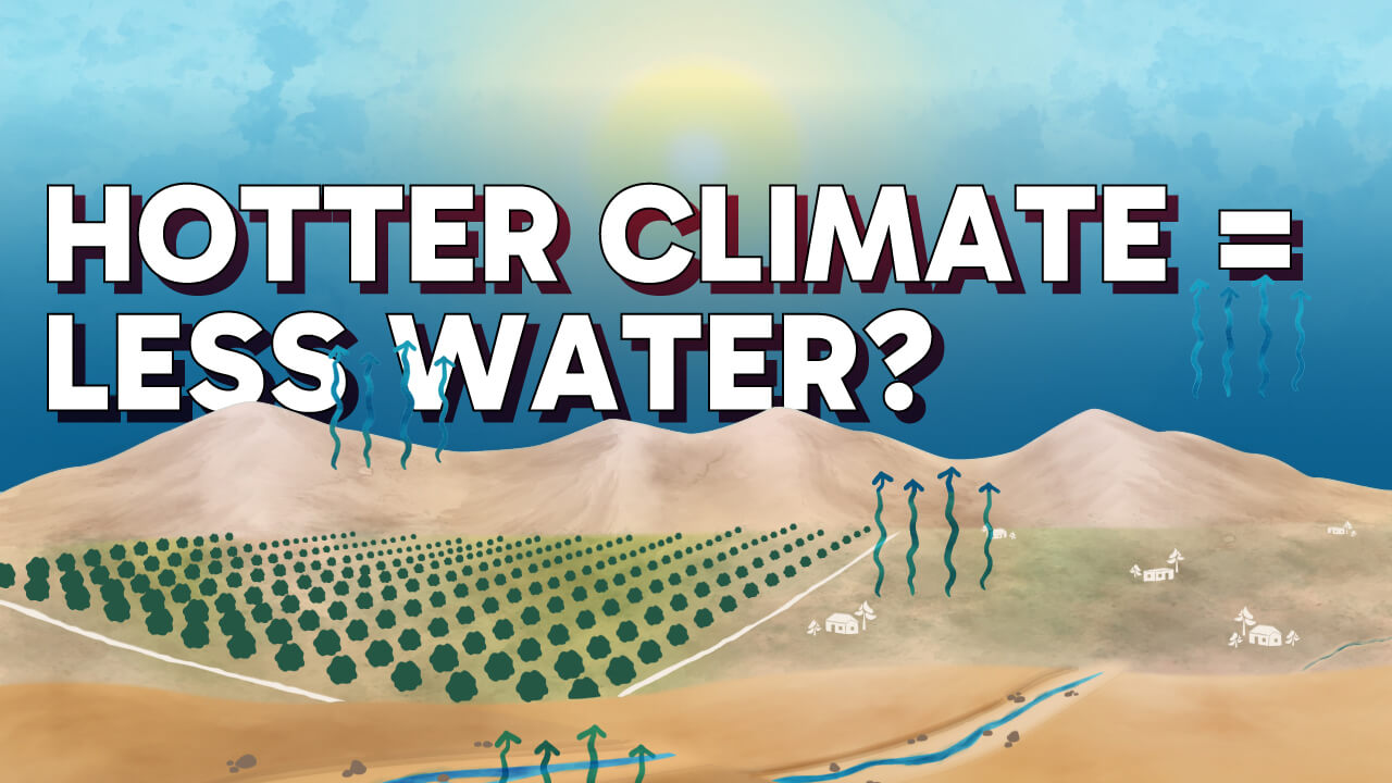
Does A Hotter Climate Mean Less Water?
Our climate is heating up. As average annual temperatures rise — even by just one degree — more water evaporates from our landscapes, reservoirs, and rivers, leaving less to go around. So do your part. Only take what you need.
View All Water Stories
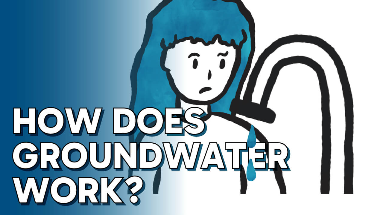
How Does Groundwater Work?
In New Mexico, over 98% of public water systems rely on groundwater. As New Mexico gets warmer and our rivers and streams become increasingly stressed, more communities will turn to limited groundwater to meet demands. Do your part. Only take what you need.
View All Water Stories
Where does city water go after I use it?Click to learn more
How can water systems save water?Click to learn more
Can We Run Out of Groundwater?Click to learn more
What’s a Water Compact — And Why Do States Fight Over It?Click to learn more
What is the Role of Reservoirs in the Desert?Click to learn more
How dry is New Mexico, really?Click to learn more
Worried About Water in New Mexico?Click to learn more
What's The Link Between Snow and Our Rivers?Click to learn more
Does A Hotter Climate Mean Less Water?Click to learn more
How Does Groundwater Work?Click to learn more
New Mexico Water Stories
Compacts Benefit and Bind Us
Learn More
Making Tribal Water Rights Right
Learn More
Off the Shelf
Learn More

Measuring Up New Mexico’s Aquifers
Learn More
WaterTAP – A New Tool For Public Water System Managers
Learn More

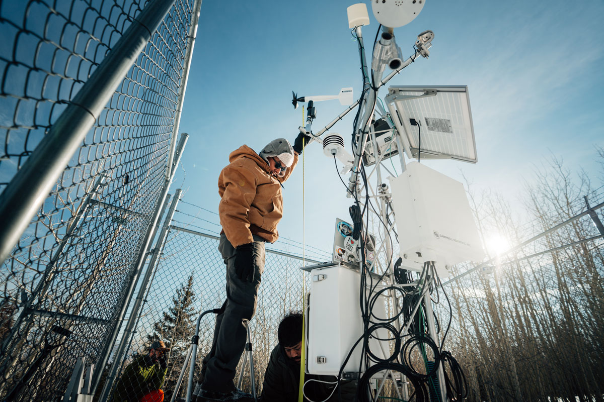
Can weather data help us dodge disaster?
Learn More
Investing in Farm- and Ranch-Led Drought Solutions
Learn More
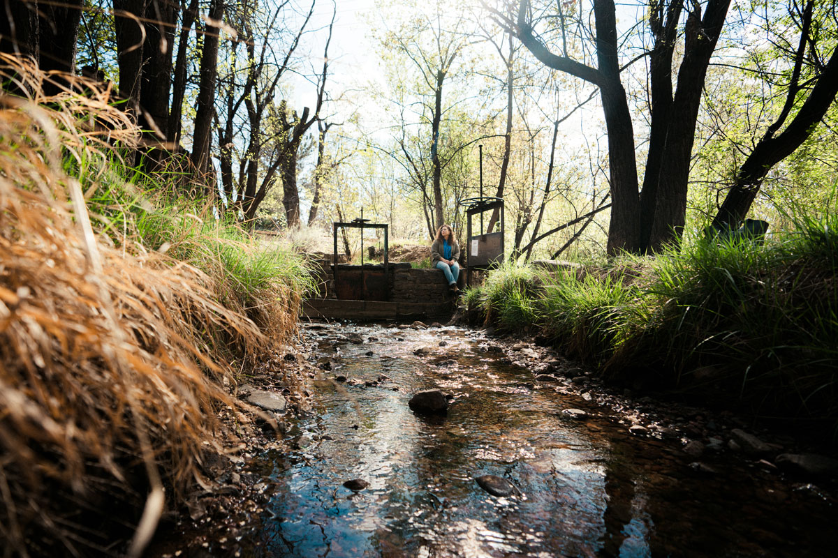
Supporting Acequia Resilience
Learn More
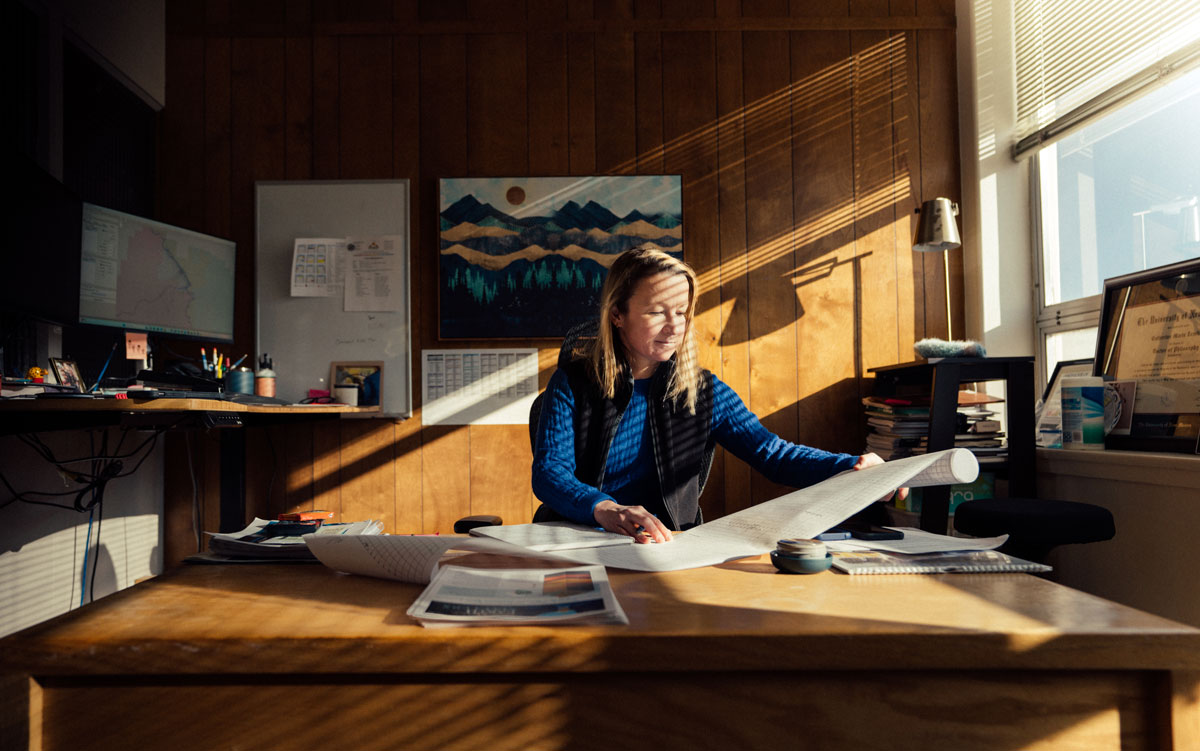
Conservation, Modernization, and Action: An Interview with State Engineer Liz Anderson
Learn More
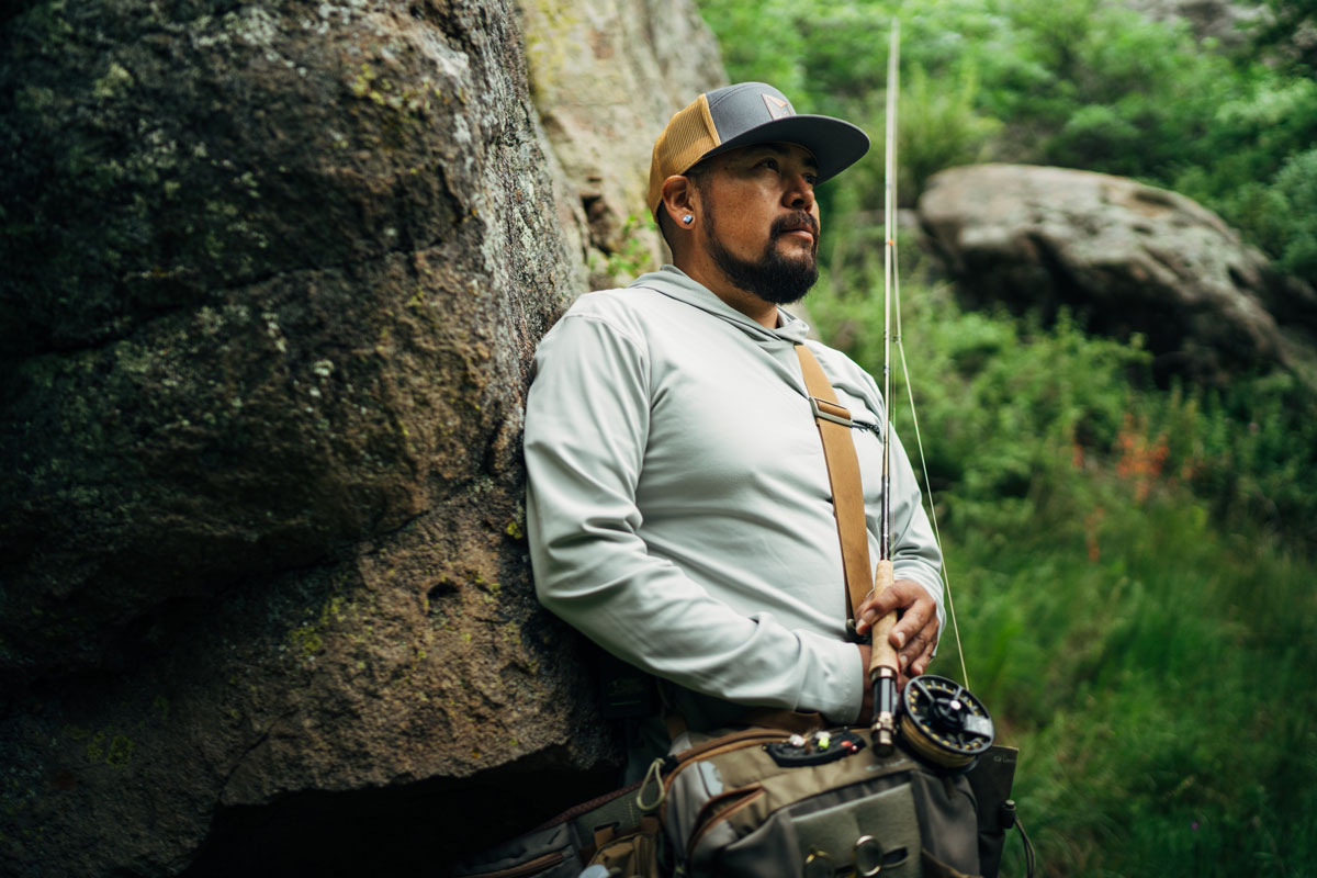
The Future of Fly Fishing in New Mexico
Learn More