Measuring Up New Mexico’s Aquifers
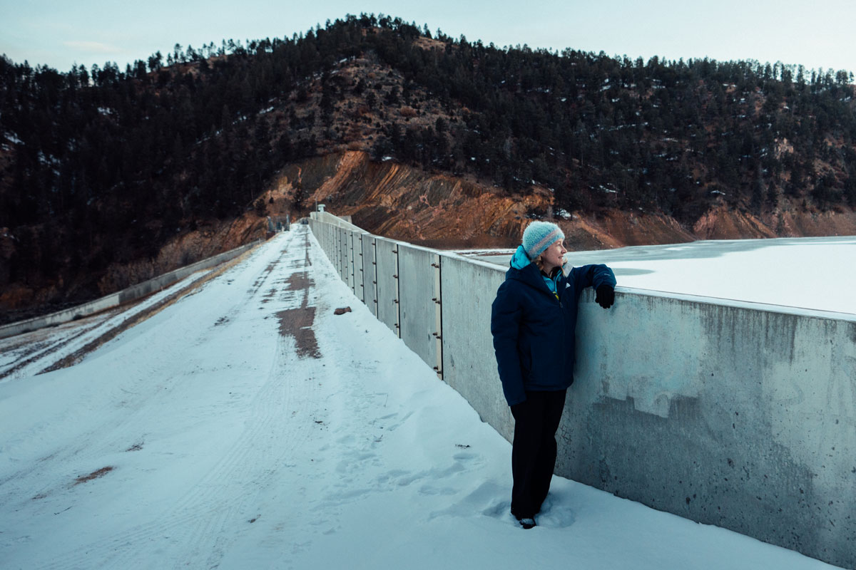
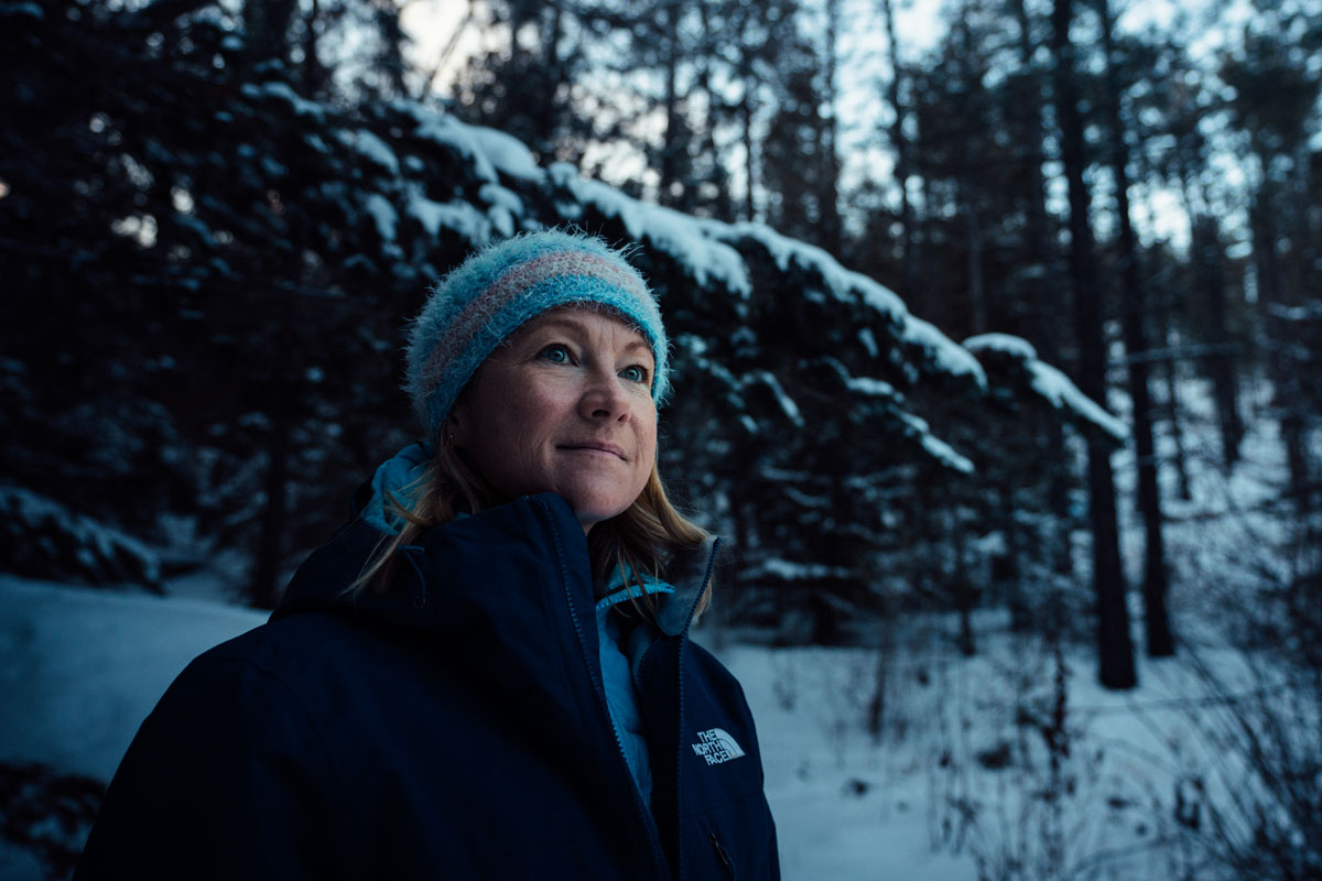
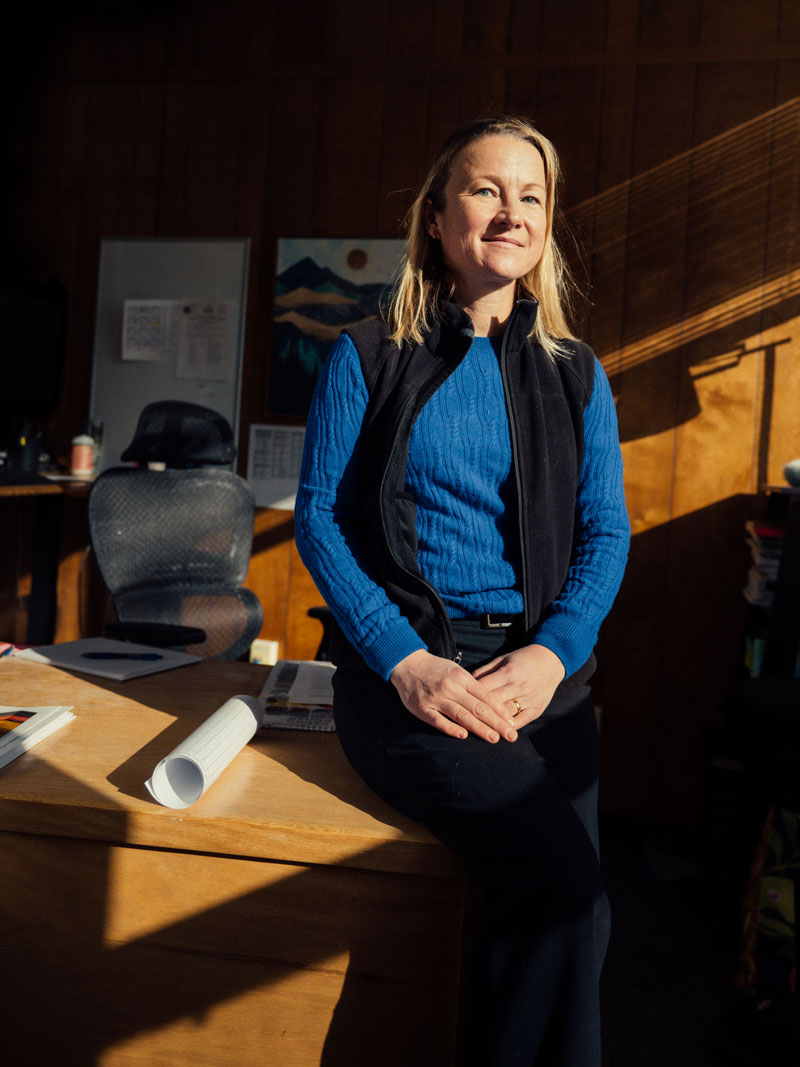
A closer look with Katie Zemlick, OSE Hydrology Bureau Chief
Mar / 2026
Beneath New Mexico’s landscapes is a hidden anatomy of sediment and rock that governs how we live on the surface. New Mexico’s 39 groundwater basins — natural containers that house our aquifers — are crucial sources of water for most of New Mexico’s population. Over half of the water New Mexicans consume annually comes from these underground sources. Yet, there is little known about our aquifers or how long they will last.
Part of the challenge is our landscape’s geologic complexity. The other challenge is that aquifers vary widely based on the complex — and unseen — rock and sediment structures that compose them. Some, like the aquifer beneath Albuquerque, sit near the surface and are connected closely with surface water systems. These aquifers replenish at a faster rate. Others are more isolated, refilling so slowly that the water we draw today may have fallen as rain before human history.
“We know we get very minimal recharge into some aquifers, so what you’re doing in effect is mining them,” says Katie Zemlick, Hydrology Bureau Chief for the Office of the State Engineer. “If you think about mining water the same way you would think about a coal mine, at some point there’s no resource left.” Overmining not only depletes water volume, it can also collapse aquifers or separate previously connected systems by creating dried-out, unsaturated zones of soil and rock.
Building ‘a detailed picture’
As regional water planning gets underway, and as scientists predict 25% less water in our state over the next 50 years, increased aquifer monitoring is a move that experts like Zemlick say will help prepare the state for a parched future. “It would be huge,” Zemlick says. “We could actually have a conversation about how much water is left and come up with an approach toward sustainability.”
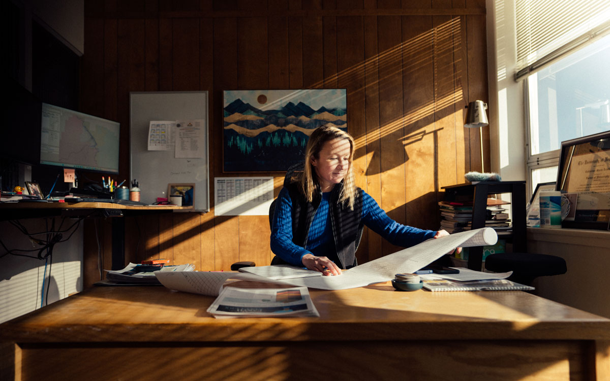
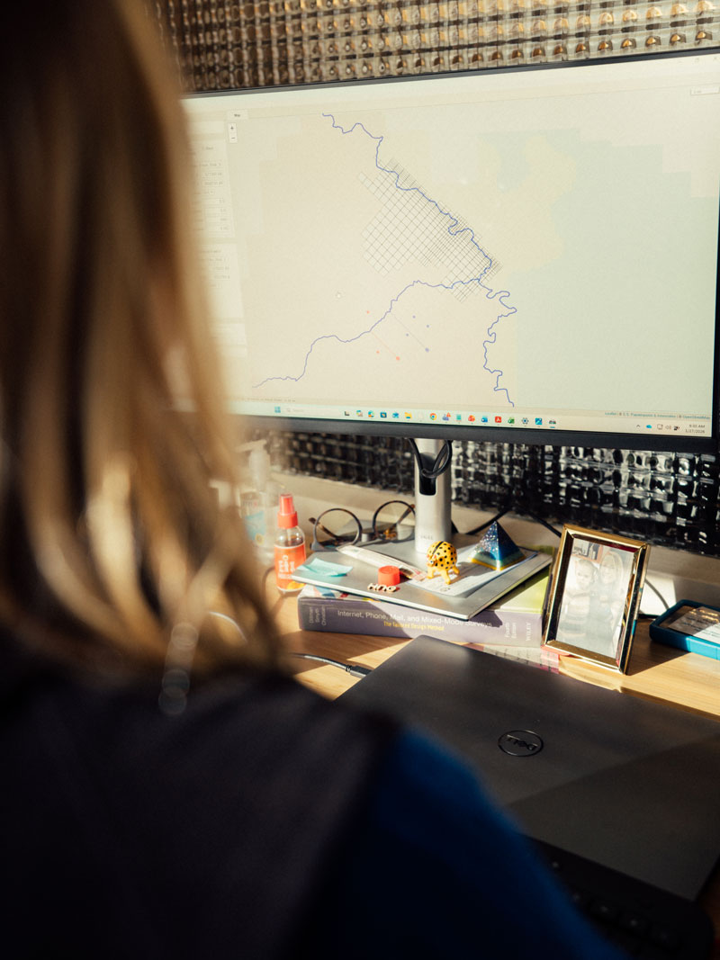
Zemlick began her hydrology career at Sandia National Laboratories, culling water data and analyzing Western states’ water policies with the Water Data Exchange (WaDE). The spirit of that work continues today with the New Mexico Water Data Initiative, the state’s online hub that consolidates data from disparate sources across the state to provide the fullest picture yet of how much water we have, its quality, and how we use it.
But when it comes to groundwater, that picture is still unclear. Zemlick said much of the state’s existing data comes from observations made by commercial and residential well drillers.
“As the material is coming up at different depths, they log what the rock color looks like,” she said. “That, I would say, is 99% of the data we have. The other 1% comes from actual geologists going out into the field, drilling, taking measurements with instruments, sending downhole cameras in. You can really get a detailed picture of what’s happening.”

Optimism in dire times
The governor’s 50 Year Water Action Plan calls for lawmakers to fully fund a Bureau of Geology and Mineral Resources program that aims to drill 100 new dedicated monitoring wells and to fully characterize the state’s aquifers by 2032. The additional wells will allow hydrologists and geologists to answer key questions about the state’s underground water.
How porous is the aquifer? What percentage of it holds water versus sand, rock, or other sediment? How fast does water move through the system? How connected are our aquifers? Will pumping water out of one impact the amount of water in another?
“We have a database of those properties, but it’s nowhere near as comprehensive as we would like,” Zemlick says. “We need a lot of data to be able to estimate, ‘We have 100 years of water,’ or ‘We have 500 years of water.’”
Luckily, Zemlick says crises often spur action, and public sentiment has shifted over the past decade to favor investments in planning, data collection, conservation, and sustainability. Public support — and deep commitment from the scientific community — will have to continue for New Mexico to find balance again.
“New Mexicans are creative and resilient, and there are a lot of people in my profession who care deeply about this,” she says. “There is optimism within us, … but my job is to think about the worst-case scenario day in and day out. That is what’s most protective of the resource. I think there are a lot of hard decisions that are going to have to be made, and it’s better if we can come up with solutions before it’s dire.”